 Conduct damage assessments on infrastructure using GIS or tax data in preparation for a disaster declaration.
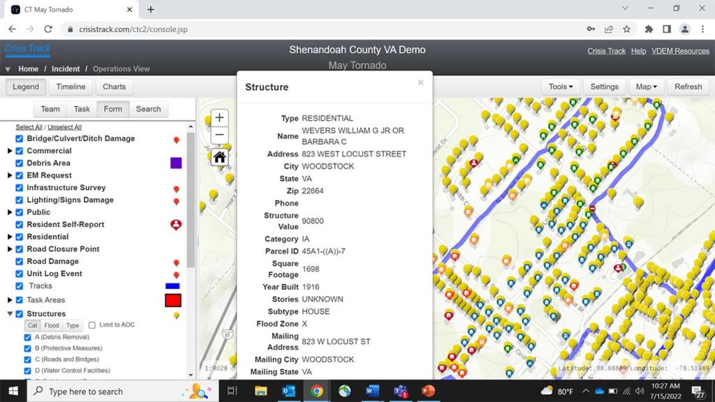
Crisis Track’s Damage Assessment tier has everything you need to prepare for a declaration.
- View countywide infrastructure preloaded from your organization’s GIS and tax assessment data.
- Use developed and tested standard operating procedures and exercises to train your teams.
- Preplan common emergency management tasks before the incident happens.
- Capture critical data on phones and tablets, even without internet connectivity, through the Crisis Track mobile app.
- Generate real-time damage assessment data that moves directly from the field into the EOC and onto FEMA forms.
Features
- Prepopulated damage assessment forms with local infrastructure data
- Auto-calculated damage cost estimates for road infrastructure and debris removal
- Web and mobile labor and equipment time tracking
Benefits
- Expedite completion of necessary forms using local infrastructure data, reducing manual entry
- Know potentially impacted infrastructure locations for damage assessment mission planning
- More easily capture force labor and equipment time records, increasing cost recovery
 Crisis Track’s Damage Assessment tier has everything you need to prepare for a declaration.
- View countywide infrastructure preloaded from your organization’s GIS and tax assessment data.
- Use developed and tested standard operating procedures and exercises to train your teams.
- Preplan common emergency management tasks before the incident happens.
- Capture critical data on phones and tablets, even without internet connectivity, through the Crisis Track mobile app.
- Generate real-time damage assessment data that moves directly from the field into the EOC and onto FEMA forms.
Features
- Up-to-date workflows that meet FEMA’s latest grant requirements
- Comprehensive data collection forms for all eligible disaster cost accounting
- Inclusive licensing that allows applicant costs to apply towards jurisdiction thresholds
Benefits
- Ensure workflows are compliant with constantly evolving FEMA guidance on disaster grant requirements
- Reduce validation issues by leveraging local infrastructure data
- Enhance data processing towards supporting close-to-threshold disaster declarations
 This option includes the features of the other two tiers and expands to provide functionality for incident action planning, resource management, and situation reporting on emergency management incidents.
- Track resource assignments and availability within an operation.
- Quickly create, manage, and capture information for an incident action plan from the EOC or directly from a phone.
- Enable search teams to plan, manage and document search activities in real-time.
- Analyze, track and document the events and costs associated with HAZMAT Response incidents as well as prepare documentation needed for reporting and cost recovery.
Plan evacuation surveys and issue reentry permits using your organization’s infrastructure location and property ownership data.
Promoting Interoperability
Features
- Off-the-shelf integration with commonly used systems such as WebEOC and ArcGIS Online
Benefits
- Near real-time updates ensure prompt data availability to maximize investments in other emergency management solutions
- Increased accuracy and efficiency eliminate the need for duplicate data entry and file import and export