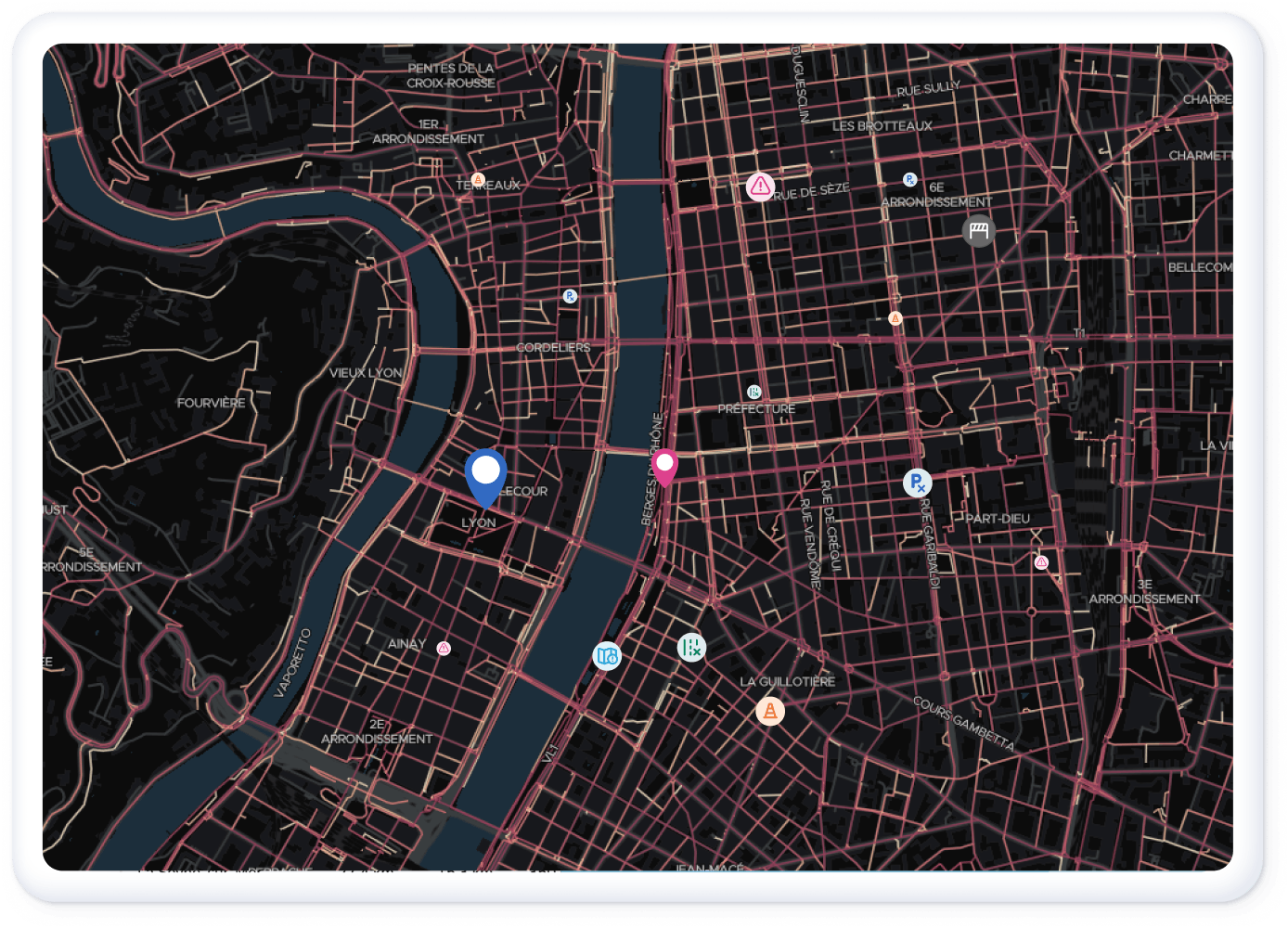
Let's help your community
to become more bike friendly
Our Cycling Insights platform helps communities to better understand cycling traffic, and to make the right decisions in developping the infrastructure
They are already working with us
Concrete usage data to optimize your investments
Fine-tune your cycling policy using our platform's analysis tools: improve your knowledge of cycling flows, identify priority areas to secure, and measure the impact of your decisions.
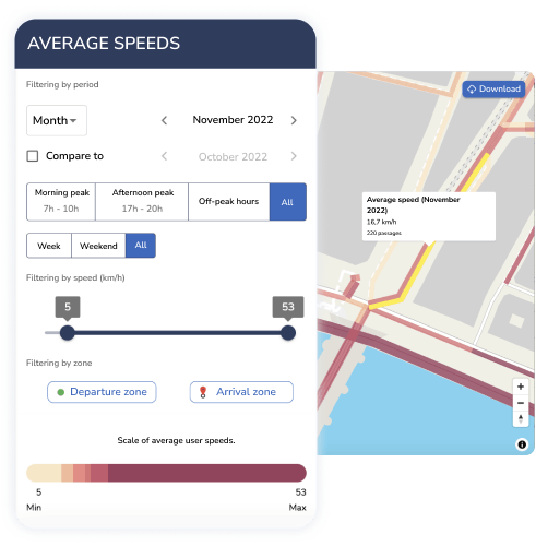
Find out on your Cycling Insights dashboard
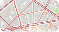
Heat maps
Visualize the distribution of bicycle traffic to better understand the use of your bicycle network.

Origin/destination analysis
Analyze the flow of cyclists to improve the links between communities in your area.
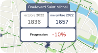
Virtual counters
Measure the evolution of passages estimated by Geovelo throughout your territory.
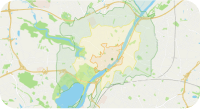
Isochrones
Communicate the accessibility of your community and identify areas that are difficult to access by bike
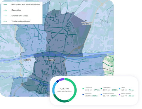
Map the cycling network in your area
Our cartographers make the GIS data of your region more reliable, in Open Data (on OpenStreetMap), to allow:
- Improved guidance on all bike apps
- Compatibility with official standards (BNAC, etc.)
- Reliability of the statistical monitoring of cycling facilities
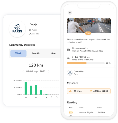
Communicate directly with members of your community
A dedicated space within the application brings together cyclists in your area. Encourage practice through challenges, and highlight your actions through a public news feed.
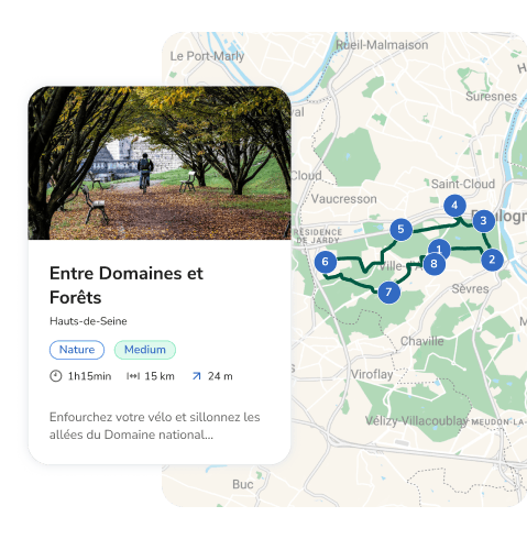
Promote cycling tourism in your area
Take advantage of the Geovelo application to highlight short or long distance leisure routes within your territory. Make your routes and POIs easier for cyclists to discover.
Focus on
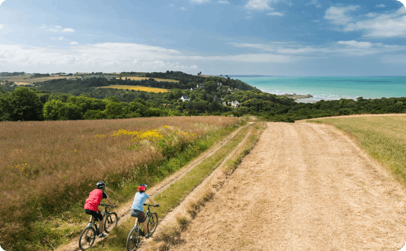
The Côtes d'Armor & Geovelo
The Department of Côtes d'Armor has approached Geovelo to develop and secure the practice of cycling on its territory. The Geovelo tools make it possible in particular to identify 'gaps' in the network, where many cyclists pass despite the absence of a cycle path. These analyzes will allow the Department and all its municipalities to better prioritize the new facilities to be built, based on the actual use observed.
The reasons for working with Geovelo
We adapt to the size and specific needs of each community

Data based on bicycle traffic flows and validated by multiple users

Our service is free, and without ads, to improve cycling conditions for communities
contact us


